The long fall of Toba
A route-focused guide to the Toba cascade by Meore Balda and Arsen Okrojanashvili Cave.
The Martvili Toba cascade rewards experienced, guided hikers with a dramatic limestone landscape, but its steep approaches are unsuitable for a casual roadside stop.
- Area
- Meore Balda, Martvili Municipality, Samegrelo
- Correct locality
- Toba Cascade/Arsen Okrojanashvili Cave near Meore Balda, Martvili; do not confuse it with a Chkhorotsku-area waterfall also named Toba.
- Overnight base
- Martvili · Kutaisi — compare options ↓
Area search, not a confirmed venue entrance. Use the guide's visitor details for the final approach.
In this guide
Toba Waterfall, Martvili: Hiking to Georgia's 234-Metre Cascade
The Toba Waterfall that hikers seek near Martvili is a tall cascade formed by a river emerging from the karst landscape around Arsen Okrojanashvili Cave. Georgia Travel gives the cascade's height as 234 metres and places it on a circular route from Meore Balda that can also include Oniore. The rock face and cave connection make the site more than a single photographic viewpoint: the river's course through limestone is the reason the waterfall exists in this form.
Be specific about the locality. Some regional directories also describe a smaller waterfall called Toba near Chkhorotsku, farther west in Samegrelo. That is a separate destination and cannot be substituted for the 234-metre Martvili cascade. For this hike ask for Toba Cascade, Meore Balda or Arsen Okrojanashvili Cave, and confirm that the guide's trail leads into the Toba River valley near Martvili rather than toward the Chkhorotsku locality.
The particular waterfall and cave you are looking for
Georgia Travel traces the cascade to the second cave in the Toba River Basin, named for geologist Arsen Okrojanashvili, who died while researching the area in 1965. The account describes twelve caves in the basin and identifies this as the largest. The protected-area authority separately lists Toba Waterfall and Arsen Okrojanashvili Cave as a combined natural monument, locating it in the Toba valley near Meore Balda in Martvili Municipality. These linked names help pin down the right site.
A visit to the waterfall is not permission to explore its source cave. The Agency of Protected Areas explicitly warns that entering Arsen Okrojanashvili Cave is very difficult without specialist equipment; parts involve water and boat access. Do not climb into an opening or follow a river passage out of curiosity. The publicly described hiking goal is a safe outside view of the cascade, subject to the conditions and decisions of an experienced local guide.
The Balda trail and the steep waterfall section
The official Meore Balda loop begins near the monastery and heads toward Toba. Georgia Travel estimates roughly five kilometres and about two hours to reach the waterfall, emphasizing that the terrain makes it relatively difficult despite the modest distance. The agency's protected-area description gives a nearby trail distance of 5.6 kilometres, from a differently described starting point. Treat these as planning estimates, and ask your guide to specify the actual pickup location and entire route.
The most exposed part of the outing is not necessarily the walk through the forest. Georgia Travel mentions a steep path that proceeds single file toward a midsection of the cascade. A high waterfall creates tempting photo positions, but narrow wet tracks and drops deserve caution. Carry sturdy footwear with reliable traction and do not walk toward the cliff edge for a better frame. A local guide should set the turnaround point based on group ability and current trail conditions.
Toba with Oniore: one loop, two distinct sights
The signed route described by Georgia Travel continues from Toba toward the first Toba Cave, where the outer Oniore Waterfall drops about 84 metres. The published itinerary places the waterfalls around an hour's hike apart and returns to Meore Balda on a loop. They should not be treated as the same waterfall: Toba belongs with the second cave and a long exterior cascade, while Oniore is associated with the first cave and a separate inner waterfall as well.
A full loop makes sense only if everyone is prepared for several hours on variable mountain paths. Signs can exist without guaranteeing that every junction, exposed traverse or river approach is clear in poor weather. Arrange a local guide who knows both natural monuments, and ask whether recent rain has affected the route. If the group is tired at Toba, turning back with the guide may be better than forcing the additional Oniore leg.
When to go and how to organize the excursion
Georgia Travel favors spring, summer and autumn for the loop. Spring often adds volume to waterfalls but can make paths wetter, while summer vegetation makes the gorge lush. Start early enough to return in daylight even if the hike takes longer than the published estimate. Carry food, sufficient water, waterproof protection for electronics and a layer for a damp forest stop. The listing of picnic or camping areas does not guarantee supplies or staffed services at the cascade.
Martvili is the straightforward accommodation base: it has guesthouses and road access toward Balda, while a driver can handle the rural portion and collect you after the walk. Before paying a guide, agree on whether the service covers Toba only or the entire loop, the exact meeting point, transport, route decisions and the plan if weather deteriorates. Skip the hike if access is unsafe; seeing Martvili's lower valley and monastery still makes a worthwhile day.
Plan the visit and the journey back.
- Correct locality
- Toba Cascade/Arsen Okrojanashvili Cave near Meore Balda, Martvili; do not confuse it with a Chkhorotsku-area waterfall also named Toba.
- Trail
- Georgia Travel describes about 5 km and roughly 2 hours to Toba from the Balda monastery side; terrain is demanding.
- Guide
- Use an experienced local guide for the steep trail, weather and any onward link with Oniore; cave exploration needs specialist arrangements.
- Essentials
- Sturdy shoes, water, packed food, rain layer, a daylight margin and a confirmed return ride to Martvili.
Area search, not a confirmed venue entrance. Use the guide's visitor details for the final approach.
Stay where the next day makes sense.
Compare the base first, then check the property's location and transport for your outing.
Martvili
Search near Martvili for a Samegrelo outing. Our directory also includes other bases in the region.
Compare directory stays →Search Martvili on Booking.com ↗Kutaisi
Compare a city base for an Imereti itinerary, with a separate return journey to the attraction.
Compare directory stays →Search Kutaisi on Booking.com ↗Useful answers before setting out.
Is the Toba Waterfall near Martvili 234 metres high?
Georgia Travel describes the Toba Cascade on the Meore Balda route as 234 metres. This is the waterfall connected with Arsen Okrojanashvili Cave, not the separate Chkhorotsku-area namesake.
Can I enter the cave behind Toba Waterfall?
Do not attempt it independently. Georgia's protected-area authority describes the cave as difficult to reach and requiring specialist equipment, with aquatic passages.
How hard is the hike to Toba?
The official route is approximately five kilometres from the Balda side, with difficult terrain and a steep single-file section. Arrange a local guide and expect more effort than the distance suggests.
Confirm the current visitor details.
Access, weather, opening hours and bookable experiences can change. Check the relevant operator or visitor authority for your date.
- Georgia Travel — Meore Balda, Toba and Oniore waterfall hike ↗
- National Parks — Toba Waterfall and Arsen Okrojanashvili Cave ↗
- Georgia Travel — Martvili overview ↗
- Visit Samegrelo — separate Toba listing in Chkhorotsku ↗
Photograph sources and licenses
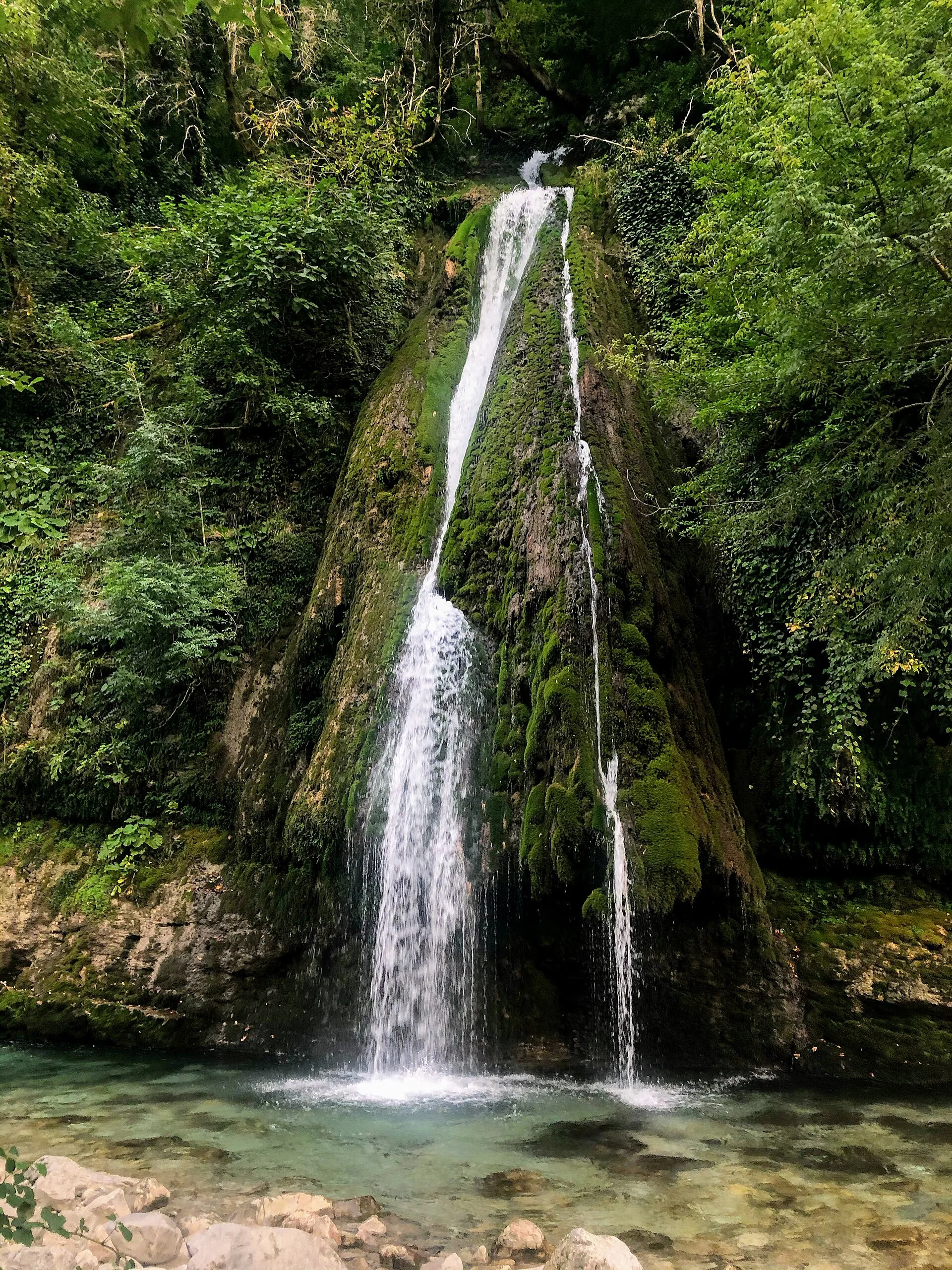
Toba cascade in Martvili Municipality, Samegrelo. Photograph by Paata vardanashvili. Source photograph, CC BY-SA 4.0. Resized and converted to WebP. Responsive copies resized and compressed to WebP.
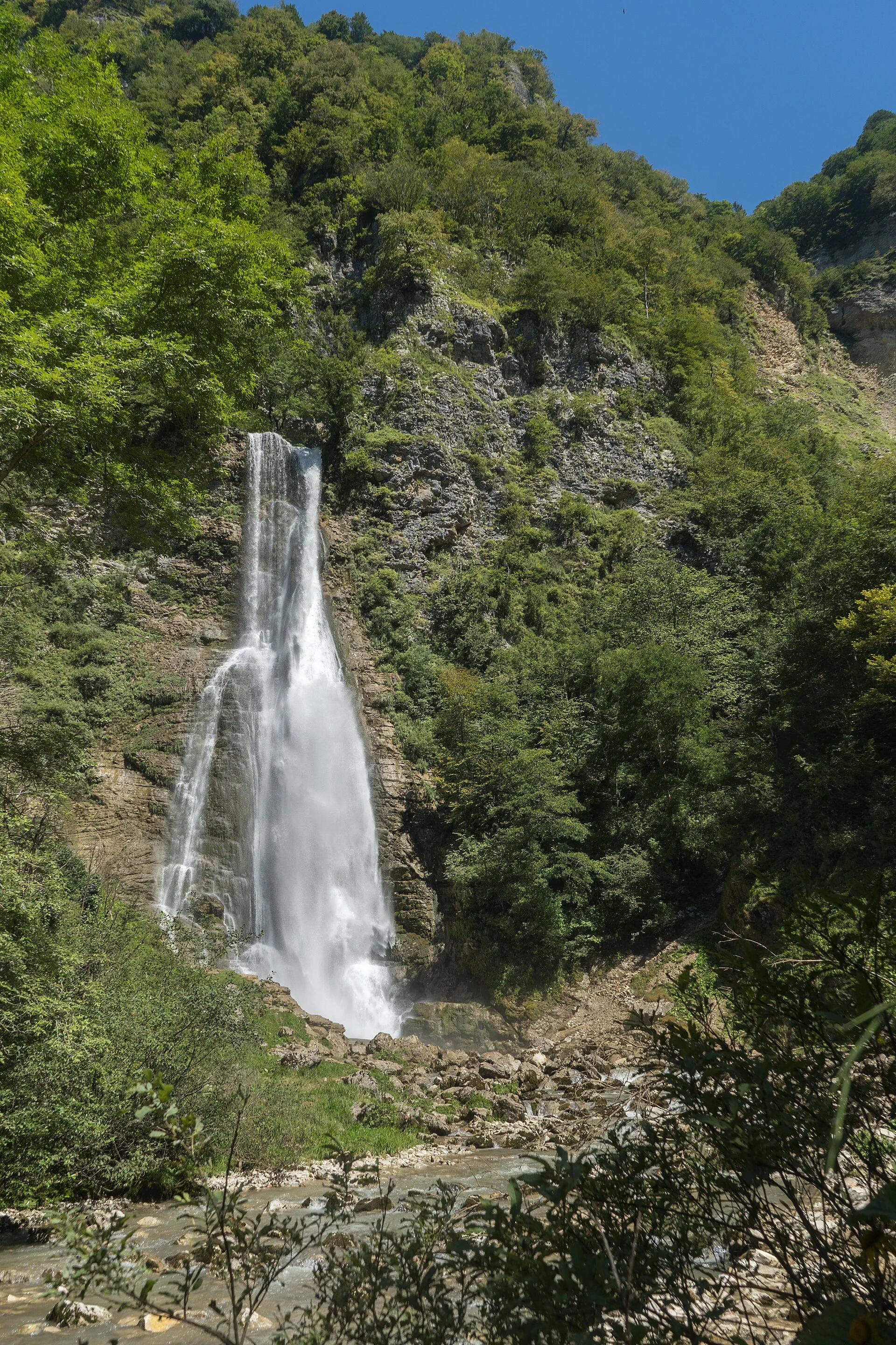
Kaghu Waterfall in Martvili Municipality, Samegrelo. Photograph by AlexandreAssatiani. Source photograph, CC BY 4.0. Resized and converted to WebP. Responsive copies resized and compressed to WebP.
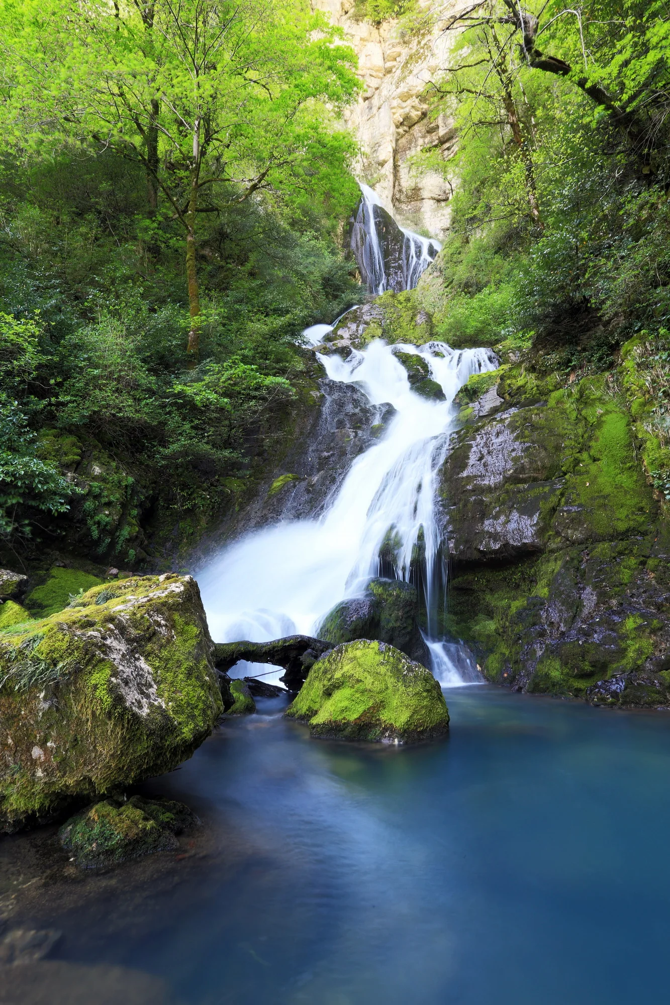
Oniore Waterfall near Meore Balda in Samegrelo. Photograph by Alexey Komarov. Source photograph, CC BY-SA 4.0. Resized and converted to WebP. Responsive copies resized and compressed to WebP.
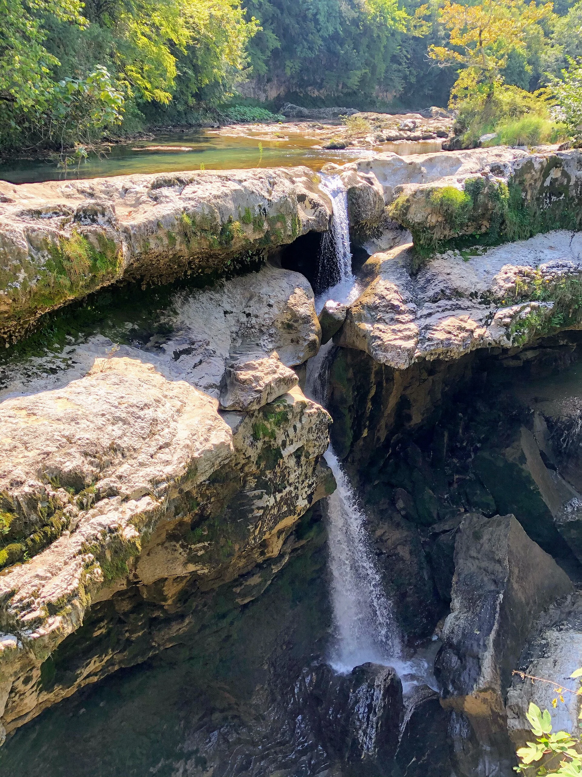
Waterfalls in Martvili Canyon, separate from the more remote Toba and Oniore falls. Photograph by AlexandreAssatiani. Source photograph, CC BY 4.0. Resized and converted to WebP. Responsive copies resized and compressed to WebP.