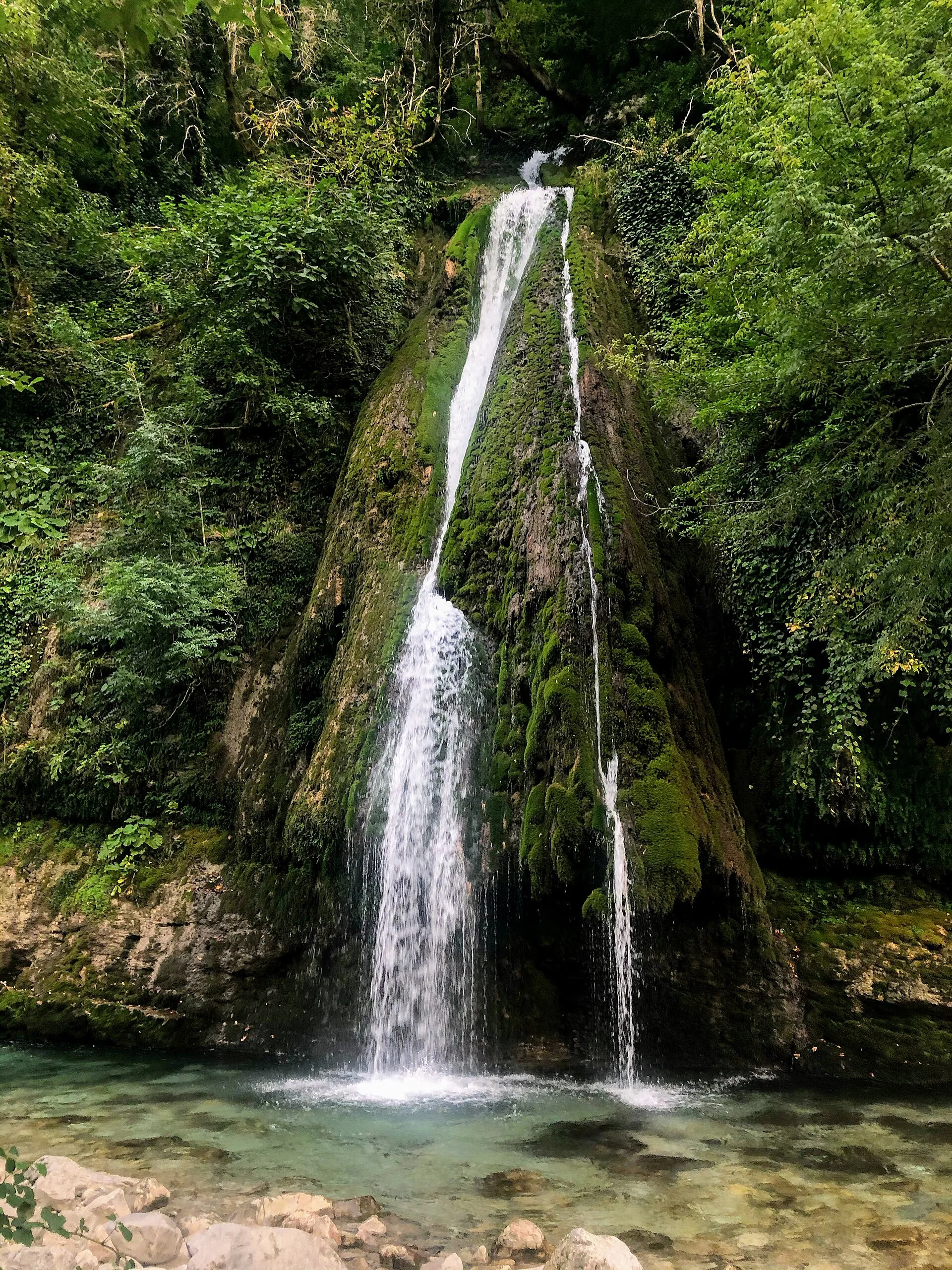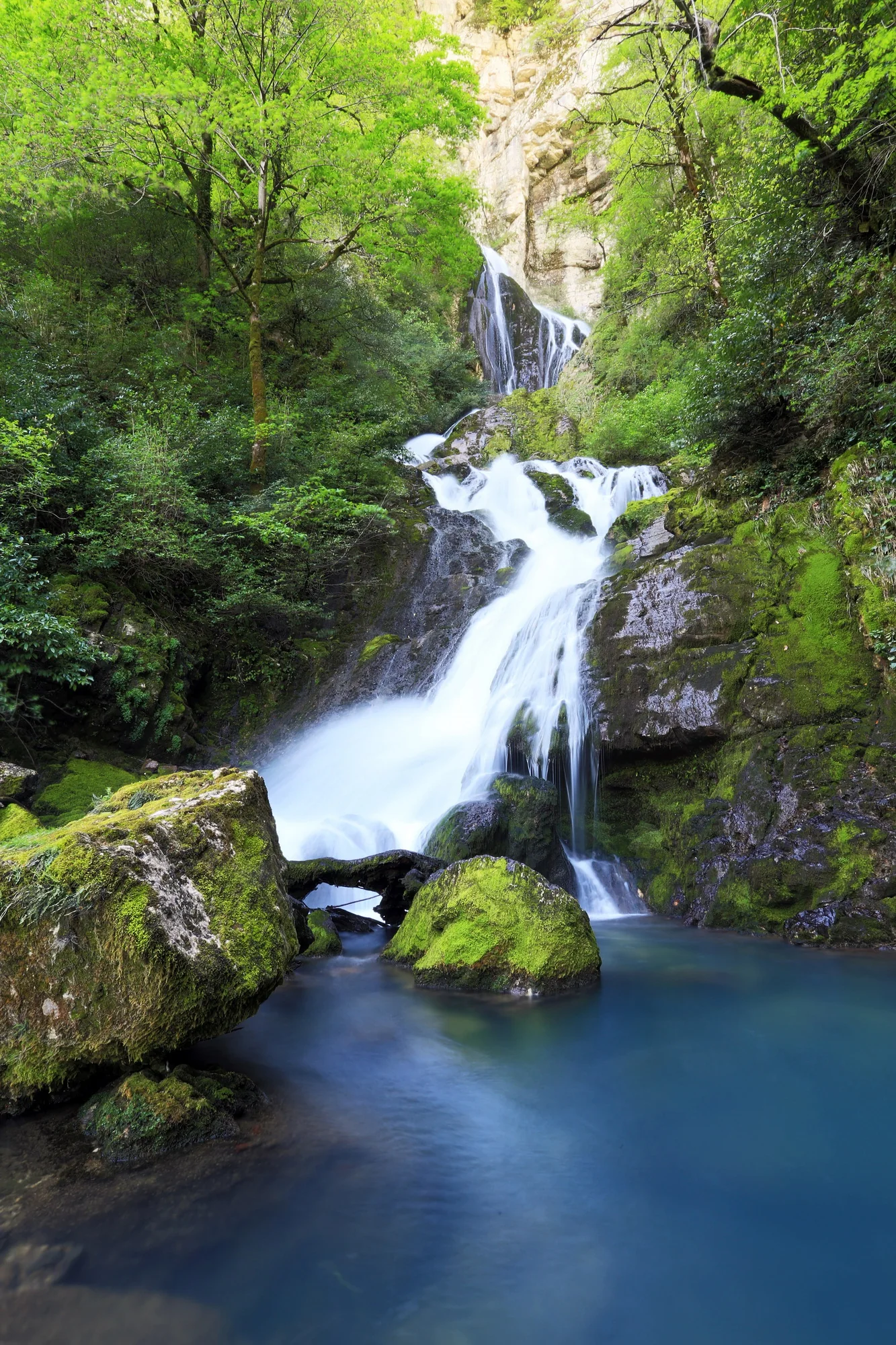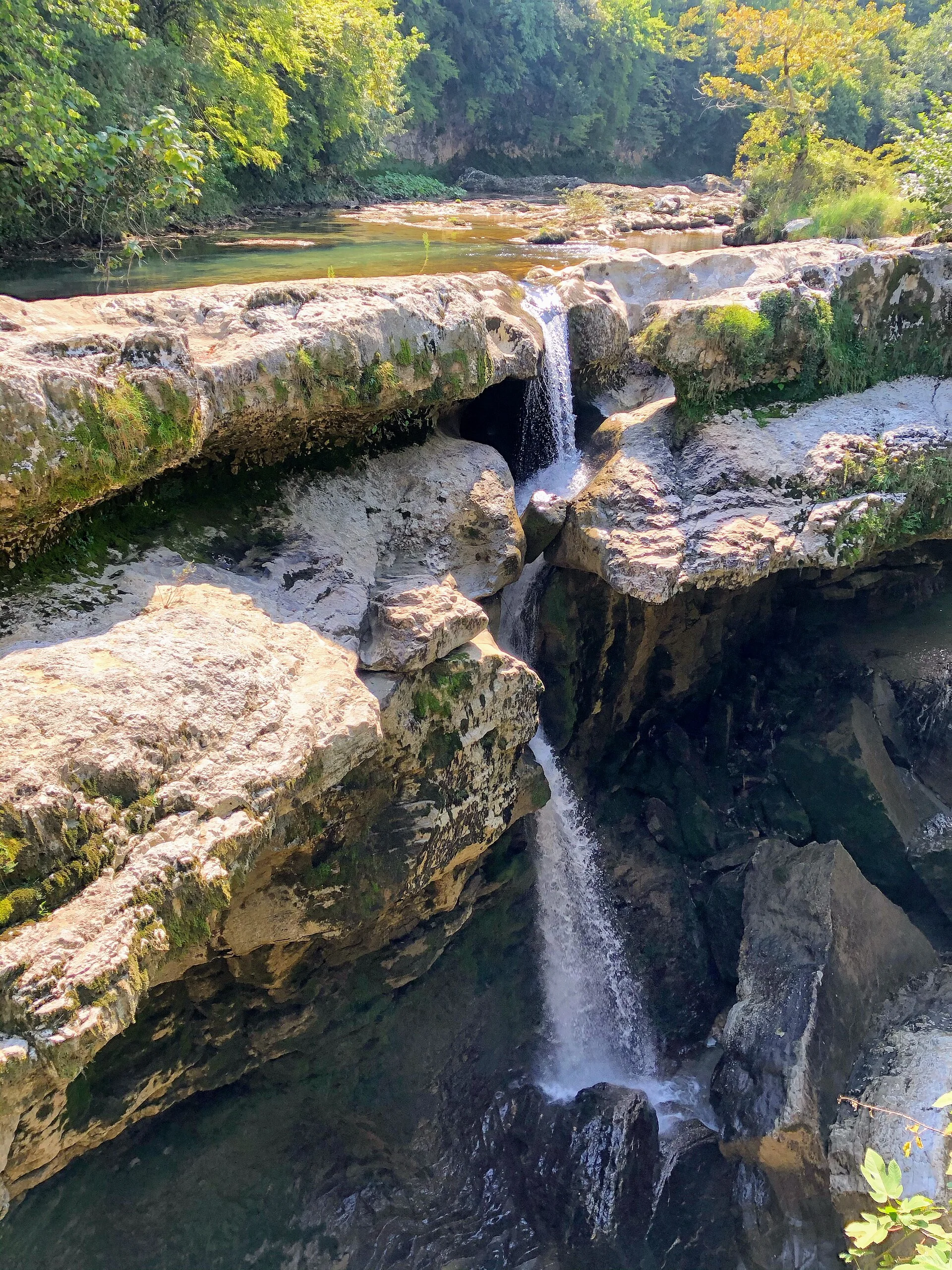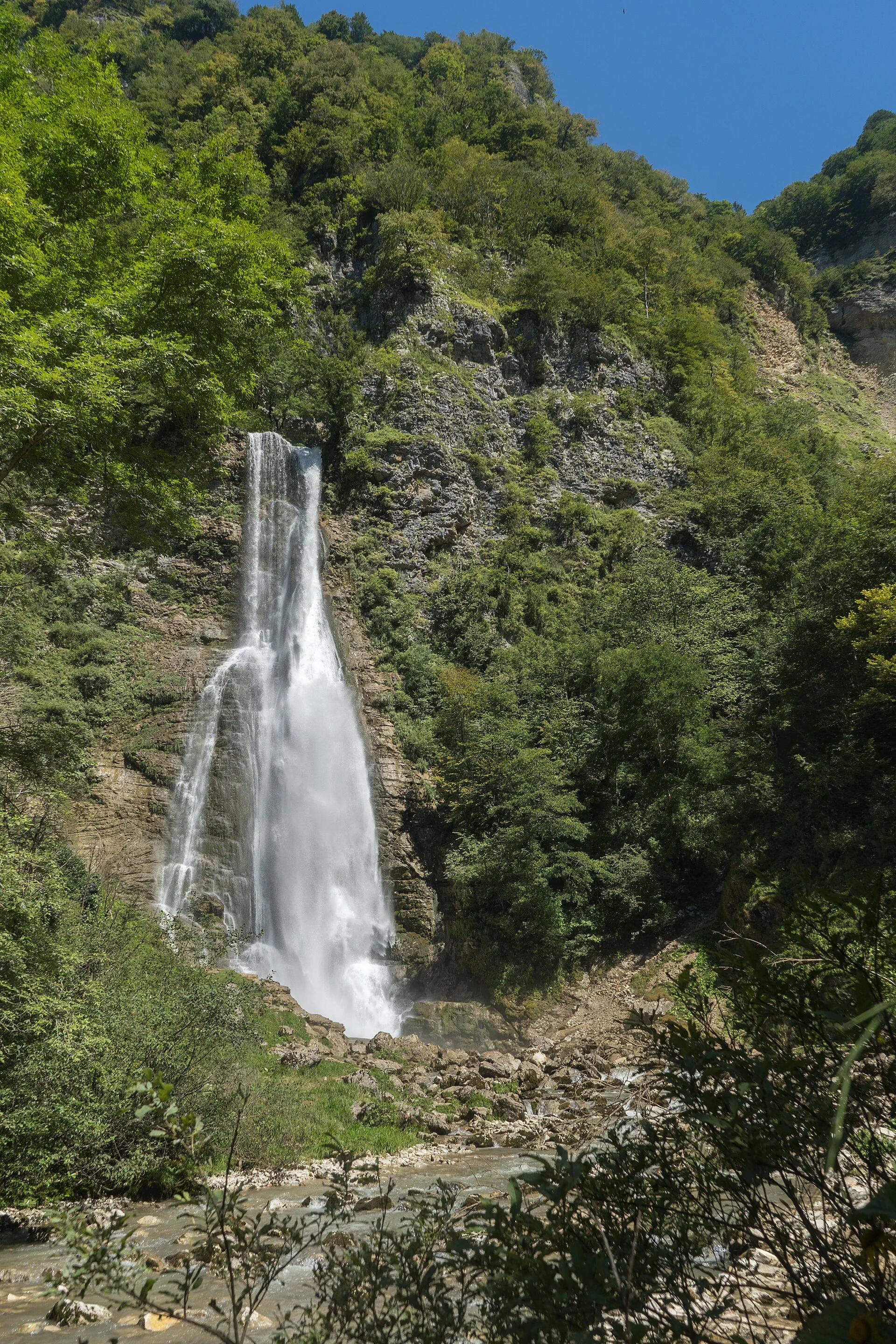
A waterfall from a cave
See why Oniore's cave-fed outer fall and hidden inner cascade make this a demanding, separate outing.
Oniore is a remarkable cave-and-waterfall natural monument that deserves a guide, time and careful attention to the final approach.
- Area
- Toba River Valley, Martvili Municipality, Samegrelo
- Natural monument
- Oniore Waterfall with Toba First Cave, in the Toba River valley northeast of Meore Balda, Martvili Municipality.
- Overnight base
- Martvili · Kutaisi — compare options ↓
Area search, not a confirmed venue entrance. Use the guide's visitor details for the final approach.
In this guide
Oniore Waterfall and Toba First Cave: The Guided Balda Hike
Oniore is the waterfall to choose if what fascinates you is the moment a river emerges from a limestone cave. In the Toba valley near Meore Balda, the first Toba Cave contains an inner waterfall and releases water over an 84-metre exterior drop. Georgia Travel describes the cave's roof at about 30 metres high and its width at twelve to fifteen metres. Those dimensions give an idea of the scale, although the route through dense forest makes the setting feel hidden until close to the destination.
Oniore's name is frequently paired with Toba because the same valley holds two protected cave-and-waterfall landmarks. They are separate destinations: the famous 234-metre Toba cascade is associated with Arsen Okrojanashvili Cave, whereas Oniore belongs to Toba First Cave. Do not assume a photograph or map pin labelled simply Toba takes you to Oniore. Confirm the natural monument and approach with a local guide, especially if planning the two falls on a single day.
What makes the first Toba Cave exceptional
The cave-and-waterfall pair is listed as a natural monument by Georgia's Agency of Protected Areas. Georgia Travel distinguishes a roughly 21-metre waterfall inside the cave from the 84-metre fall outside it. The protected-area account places the landmark in Martvili Municipality northeast of Meore Balda, around 680 metres above sea level. The surrounding Colchic boxwoods and shaded valley vegetation are integral to its character, not merely scenery behind a viewpoint.
The water's dramatic exit should not tempt travelers to treat the cave as a casual tourist tunnel. Natural caves have variable light, wet stone, drop-offs and conditions that cannot be judged from an online photo. Stay in the areas your guide identifies as appropriate for visitors, and never enter submerged or technical passages without authorized specialist leadership and equipment. The exterior waterfall and the cave mouth already provide a strong sense of this karst landscape.
Why the trail is harder than the map suggests
Georgia Travel outlines an approach from parking near Balda Monastery: about five kilometres to a first rest point, then roughly two additional kilometres to the cave and falls. It describes the final stretch as quite difficult and explicitly recommends a local guide. The protected-area authority gives a different trail summary from Pirveli Balda, about 6.1 kilometres and an estimated hour and a half on a marked path. These figures use different reference points and should not be mistaken for a guaranteed pace.
Even when signposts are present, undergrowth, exposed roots and wet slopes create enough uncertainty that independent navigation can become stressful. Ask your local guide whether the planned route uses any river crossings and what recent weather has done to them. Do not regard a driveable track to a rest area as evidence the remaining path is easy. Bring hands-free water access, secure footwear and a realistic reserve of daylight for returning through the forest.
Reaching Oniore alone or combining it with Toba
Oniore can be the main objective of a long hiking day from Balda, and that often leaves more time for the cave surroundings than rushing between multiple waterfalls. If the guide proposes the Meore Balda loop, Georgia Travel's itinerary reaches the large Toba cascade first and continues around an hour farther toward Oniore. The return can follow other paths toward the village. Agree which direction you will walk and whether the guide considers the complete circuit safe for your group.
Expect a different visual reward at each landmark. Toba is a high exterior cascade on a steep rock face; Oniore is closely tied to a cave entrance and its distinct outer and inner drops. A traveler interested in karst geology might reasonably favor Oniore even if Toba is taller. Neither should be sold as a quick add-on to a leisurely Martvili Canyon visit: the distance and effort belong in an intentionally scheduled hiking day.
Weather, food and respect for the protected landscape
The official walking itinerary recommends spring, summer and autumn, but conditions on a given day matter more than the season label. Heavy rainfall may increase waterfall flow while also making slopes slick and stream crossings dangerous. Pack food and water, carry out all waste and use a protective cover for phones or cameras. Assume no dependable shop, telephone signal or staffed changing place at the upper waterfall, even where a picnic area is shown on a route description.
The area's boxwood stands and limestone environment are vulnerable to trampling, so stay on established paths when possible and do not break branches to improve a viewpoint. Swimming may be mentioned in tourism descriptions of the wider loop, but cave pools and fast water require their own on-site judgment; never jump or approach the drop edge. After the hike, return to a prearranged ride and a night's rest in Martvili rather than adding an ambitious evening transfer.
Plan the visit and the journey back.
- Natural monument
- Oniore Waterfall with Toba First Cave, in the Toba River valley northeast of Meore Balda, Martvili Municipality.
- Route
- Georgia Travel describes approximately 5 km to a rest area and 2 km onward; final terrain is difficult.
- Go with
- A local guide familiar with current trail and water conditions, especially if combining Oniore with the Toba cascade.
- Carry
- Grippy hiking boots, food, water, weatherproof layer, daylight buffer and a firm ride arrangement.
Area search, not a confirmed venue entrance. Use the guide's visitor details for the final approach.
Stay where the next day makes sense.
Compare the base first, then check the property's location and transport for your outing.
Martvili
Search near Martvili for a Samegrelo outing. Our directory also includes other bases in the region.
Compare directory stays →Search Martvili on Booking.com ↗Kutaisi
Compare a city base for an Imereti itinerary, with a separate return journey to the attraction.
Compare directory stays →Search Kutaisi on Booking.com ↗Useful answers before setting out.
Is Oniore the same as Toba Waterfall?
No. Oniore is associated with Toba First Cave and an 84-metre exterior fall; the 234-metre Toba cascade is linked to Arsen Okrojanashvili Cave.
How high are the waterfalls at Oniore?
Georgia Travel lists an outer fall of 84 metres and a separate inner cave waterfall of about 21 metres.
Do I need a guide to reach Oniore?
Yes, a local guide is strongly recommended by official tourism guidance, particularly for the difficult final section and any combined Toba circuit.
Confirm the current visitor details.
Access, weather, opening hours and bookable experiences can change. Check the relevant operator or visitor authority for your date.
- Georgia Travel — Oniore and Toba First Cave natural monuments ↗
- Agency of Protected Areas — Oniore Waterfall and First Toba Cave ↗
- Georgia Travel — Meore Balda to Toba and Oniore loop ↗
Photograph sources and licenses
Oniore Waterfall near Meore Balda in Samegrelo. Photograph by Alexey Komarov. Source photograph, CC BY-SA 4.0. Resized and converted to WebP. Responsive copies resized and compressed to WebP.
Kaghu Waterfall in Martvili Municipality, Samegrelo. Photograph by AlexandreAssatiani. Source photograph, CC BY 4.0. Resized and converted to WebP. Responsive copies resized and compressed to WebP.
Toba cascade in Martvili Municipality, Samegrelo. Photograph by Paata vardanashvili. Source photograph, CC BY-SA 4.0. Resized and converted to WebP. Responsive copies resized and compressed to WebP.
Waterfalls in Martvili Canyon, separate from the more remote Toba and Oniore falls. Photograph by AlexandreAssatiani. Source photograph, CC BY 4.0. Resized and converted to WebP. Responsive copies resized and compressed to WebP.