Shdugra beneath Ushba
Treat Svaneti's famous waterfall as a real mountain hike, not a quick roadside stop.
Shdugra is one of Georgia's great mountain-waterfall experiences, but reaching it from Mazeri requires fitness, weather judgment and a conservative turn-around plan; it should never be presented as an easy walk.
- Area
- Mazeri, Svaneti
- Trail character
- A moderately difficult mountain hike from Mazeri; do not classify Shdugra as an easy waterfall outing.
- Overnight base
- Mestia, Samegrelo-Zemo Svaneti — compare options ↓
Area search, not a confirmed venue entrance. Use the guide's visitor details for the final approach.
In this guide
Shdugra Waterfall in Svaneti: Planning the Hike from Mazeri
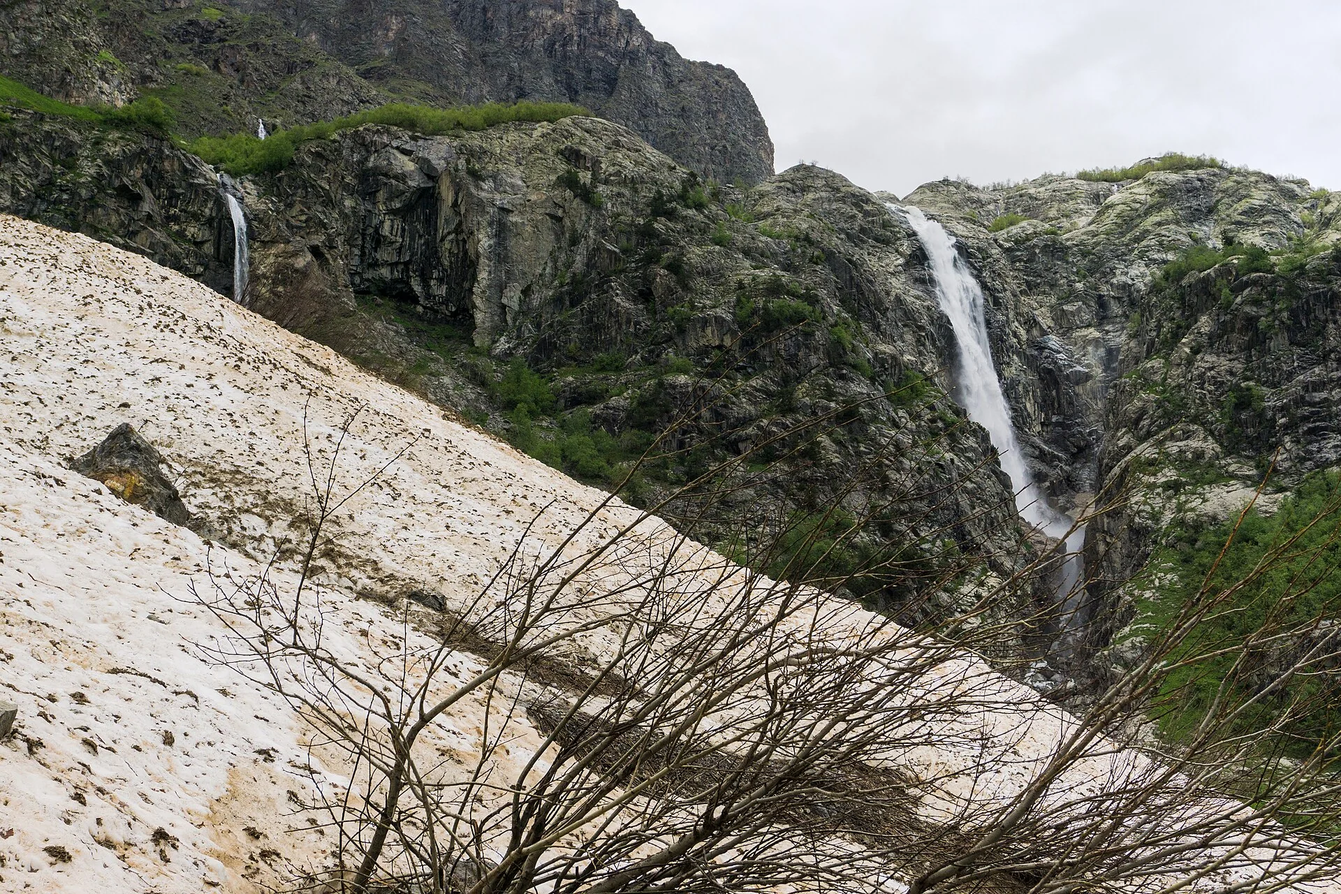
Shdugra Waterfall, also known as Ushba Waterfall, belongs to the dramatic Becho side of Upper Svaneti. Georgia Travel places it near Mazeri on a tributary of the Dolra River and describes a roughly three-kilometre hike from the village to the foot of the falls. The setting matters as much as the final cascade: fields give way to coniferous forest, the profile of Ushba dominates the valley, and the waterfall itself drops from high mountain terrain rather than from a landscaped roadside viewpoint.
That scenery can make Shdugra look deceptively simple in photographs. It is not an urban stroll and it is not a sensible target for anyone who needs guaranteed smooth footing or fixed access conditions. Georgia Travel's dedicated Mazeri-to-Shdugra hiking page rates the route moderately difficult, and the optional continuation toward the top adds another mountain leg and a river crossing. Build your day around the lower waterfall first, confirm local conditions in Mazeri, and treat any higher continuation as a separate decision rather than an automatic extension.
What the route from Mazeri is actually like
The official route starts in Mazeri in the Becho community. From the village, the path crosses open ground before entering forest and following the mountain valley toward the waterfall. Georgia Travel gives the walking distance to the foot of Shdugra as about three kilometres and notes that the route is moderately difficult. That classification is more useful than calling the outing short: mountain paths can feel much longer than their map distance when surfaces are wet, footing is uneven or the weather changes.
The attraction at the end is a large, forceful fall associated with the Ushba massif. Spray can be intense close to the water, and the official hiking page specifically tells visitors to carry a raincoat. Take that as a cue to protect electronics and add a warm layer as well. Even on a bright day in Mazeri, a shaded mountain valley can feel markedly cooler near rushing water, while wet rock and roots become more slippery underfoot.
Why the upper continuation should be treated separately
Georgia Travel distinguishes the hike to the foot from an additional roughly three-kilometre climb toward the top of the waterfall. The upper option is not just more of the same path. The official description notes a river crossing, and the terrain moves deeper into the high-mountain environment beneath Ushba and its glaciers. A traveler who comfortably reaches the lower viewpoint has not thereby proven that conditions, daylight and personal energy make the upper leg a good idea.
Use the lower waterfall as a complete destination. If you are considering the upper route, ask locally about the current crossing and trail state before leaving Mazeri, then reassess at the waterfall. Turn around when cloud, rain, water level, fatigue or poor footing changes the margin of safety. No fixed article can guarantee that a crossing described on an official route page will look the same on the day you arrive, especially in a valley fed by snow, rain and glacial water.
Water, weather and what to carry
The dedicated Georgia Travel hike page says visitors should not rely on finding drinking water along the walking route and recommends restocking in Mazeri, with an opportunity to refill at the border post. Carry enough from the start rather than planning around a stream. Add a waterproof shell, grippy footwear, sun protection and a small insulating layer. A downloaded map is useful, but navigation software is not a substitute for current local information about bridges, river crossings or temporary restrictions.
Do not plan your footwear or clothing around images of other hikers in dry conditions. A trail that is clear in one week may be muddy, slick or cut by runoff in another. Start early enough to keep a generous daylight reserve without depending on an estimated hiking time. If you are inexperienced on mountain paths, traveling alone, or unsure how to judge a river crossing, a local guide can turn a stressful decision into a more informed one.
Where Shdugra fits in a Svaneti stay
Mazeri is a distinct Becho-valley base rather than another name for Mestia. Georgia Travel's regional material places both within the wider Samegrelo-Zemo Svaneti region, while the waterfall hike begins specifically from Mazeri. If Shdugra is a priority, staying in or near the Becho valley can reduce the temptation to treat the hike as a hurried add-on to a packed Mestia sightseeing day. Confirm the exact village, meal arrangements and next-day transport with your accommodation before arrival.
For a broader Svaneti itinerary, leave room for weather to change the order of outdoor days. Mestia provides a larger base for museums, towers and other excursions, while Mazeri makes sense when you deliberately want the Ushba side of the region. The best Shdugra plan is therefore not the one with the most stops; it is the one that gives the hike enough space that turning around early, skipping the upper continuation or moving the day because of conditions does not break the rest of your trip.
Plan the visit and the journey back.
- Trail character
- A moderately difficult mountain hike from Mazeri; do not classify Shdugra as an easy waterfall outing.
- Distance
- Georgia Travel describes about 3 km to the foot of the waterfall, with a separate additional roughly 3 km option toward the top.
- Bring
- Water, waterproof shell, grippy hiking footwear, warm layer, sun protection and offline navigation; protect electronics from heavy spray.
- Decision point
- Treat the lower waterfall as a complete goal. Confirm current trail and river-crossing conditions locally before considering the upper continuation.
Area search, not a confirmed venue entrance. Use the guide's visitor details for the final approach.
Stay where the next day makes sense.
Compare the base first, then check the property's location and transport for your outing.
Mestia, Samegrelo-Zemo Svaneti
Start with the base used in this guide. Check road access, onward transport and your return before choosing a property.
Compare directory stays →Search Mestia, Samegrelo-Zemo Svaneti on Booking.com ↗Useful answers before setting out.
Is Shdugra Waterfall an easy hike?
No. Georgia Travel rates the Mazeri route moderately difficult. The lower waterfall requires a genuine mountain walk, and the optional upper continuation adds distance and a river crossing.
Do I need to hike to the top to make the trip worthwhile?
No. The foot of Shdugra is a substantial destination on its own. Only consider the upper section if current conditions, daylight and your mountain experience support it.
Can I rely on finding drinking water on the trail?
Do not rely on natural water sources. Georgia Travel advises stocking up in Mazeri and notes a refill opportunity at the border post; carry enough water from the start.
Confirm the current visitor details.
Access, weather, opening hours and bookable experiences can change. Check the relevant operator or visitor authority for your date.
- Georgia Travel: Shdugra Waterfall ↗
- Georgia Travel: Hike from Mazeri village to Shdugra waterfall ↗
- Georgia Travel: Samegrelo-Zemo Svaneti ↗
Photograph sources and licenses
Shdugra waterfall near Mazeri in Upper Svaneti. Photograph by Alexey Komarov. Source photograph, CC BY-SA 4.0. Resized and converted to WebP. Responsive copies resized and compressed to WebP.
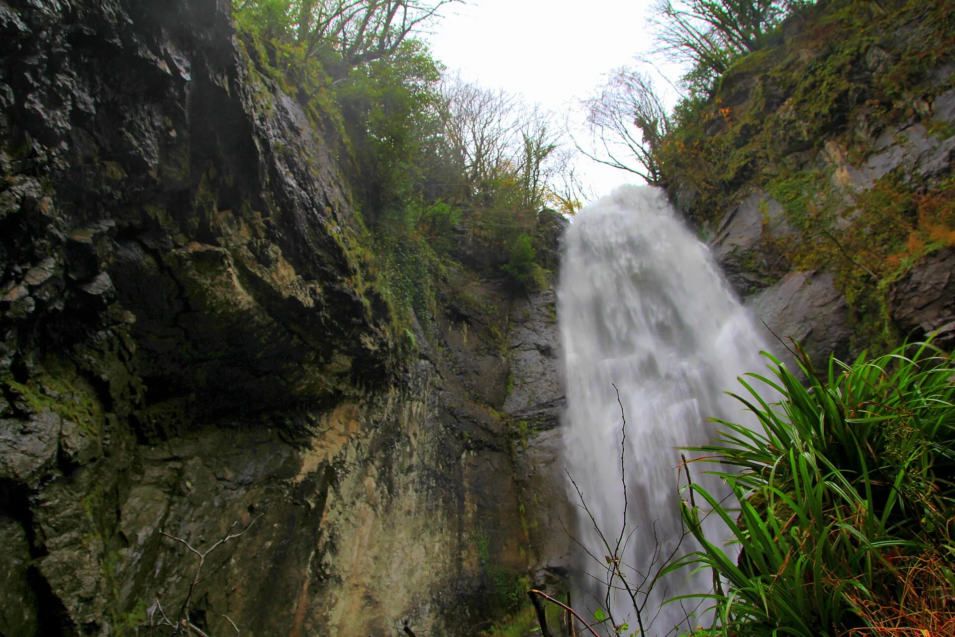
Makhuntseti waterfall spilling over a forested rock face in Adjara. Photograph by Wojciech Biegun. Source photograph, CC BY-SA 3.0. Converted to WebP, resized for web delivery. Responsive copies resized and compressed to WebP.
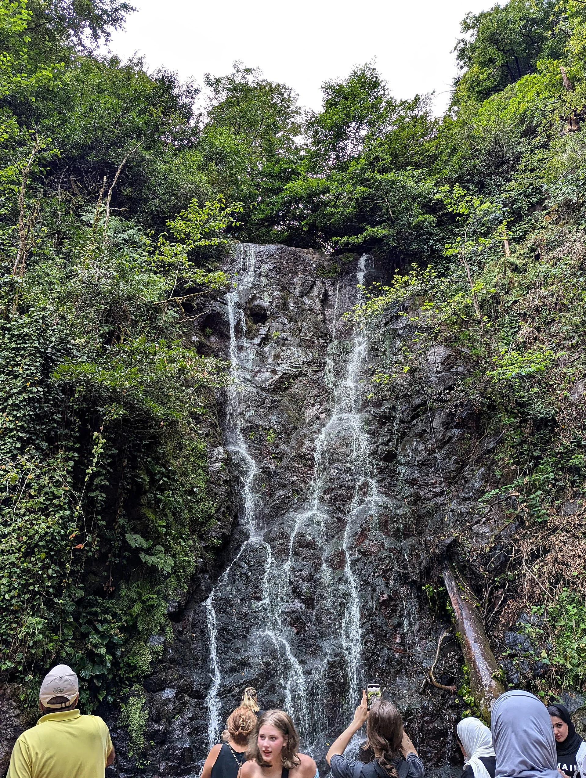
Mirveti waterfall in a green Colchic forest corridor near Batumi. Photograph by FingerWiki. Source photograph, CC BY-SA 4.0. Converted to WebP, resized for web delivery. Responsive copies resized and compressed to WebP.
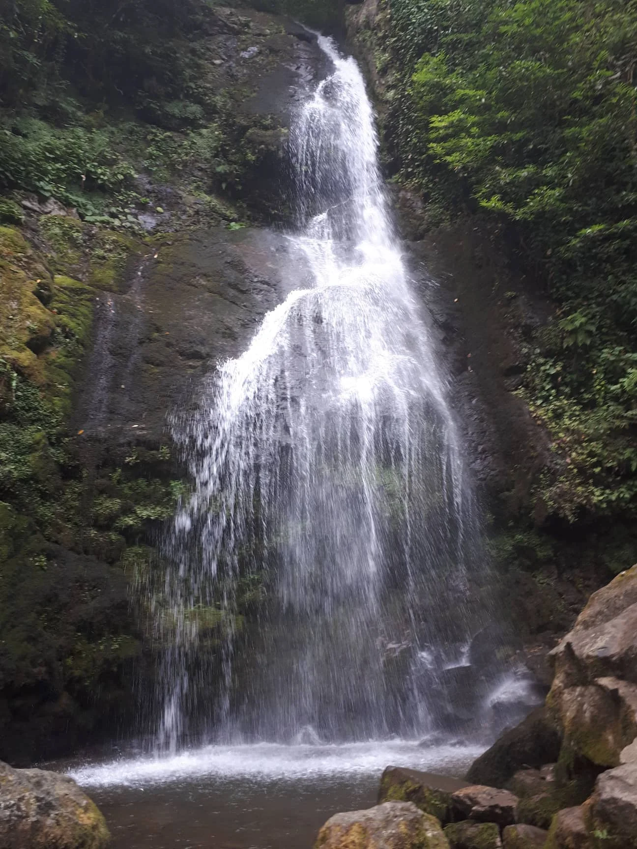
Tsablnari waterfall in Mtirala National Park behind Batumi. Photograph by Kober. Source photograph, CC BY-SA 4.0. Converted to WebP, resized for web delivery. Responsive copies resized and compressed to WebP.