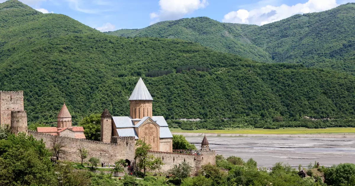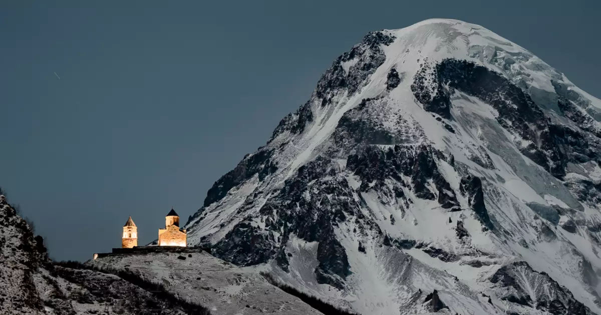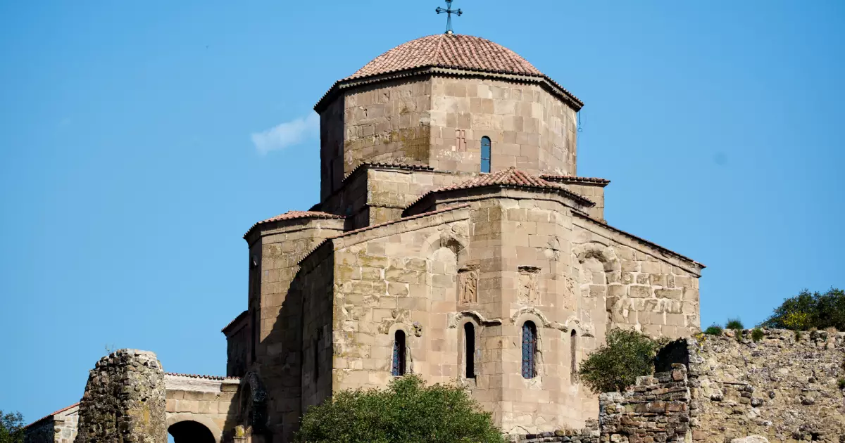

Why add Mutso to a Georgia itinerary?
The route rises through successive levels of stone buildings, so the vertical organization of Mutso becomes clearer with every terrace rather than from a single viewpoint below. Use Shatili / Khevsureti as the practical starting point, then check the exact map position before fitting the stop into a wider Mtskheta-Mtianeti route.
How to plan Mutso into your route
Start with the site itself, then use the closest complementary stops to avoid a day of unnecessary backtracking. These three pairings are the most useful places to consider first.
Shatili
Main overnight base and the best-known fortified village in Khevsureti.
Anatori crypts
Historic burial structures beside the Arghuni road.
Ardoti
Small historic village deeper in the Andaki valley.
What to see at Mutso
I would not rush straight to the most photographed angle. These are the details that make the visit more useful once you are actually there.
Climb the terraced fortress settlement
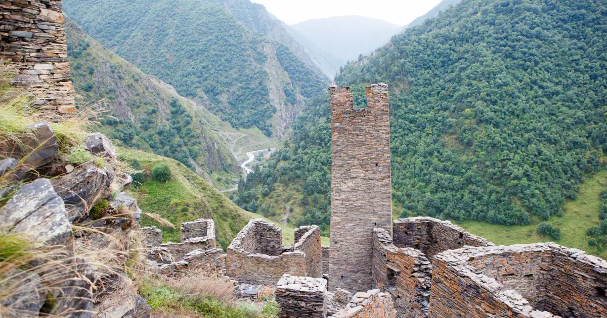
The route rises through successive levels of stone buildings, so the vertical organization of Mutso becomes clearer with every terrace rather than from a single viewpoint below.
Look for surviving defensive towers and houses
Mutso preserves the relationship between watchtowers, domestic structures and the narrow routes that linked them across a very steep site.
Pair the architecture with the Andaki valley views
The village makes strategic sense only when seen together with the surrounding gorge, where steep terrain and limited approaches shaped how the settlement was defended.
Mutso: facts that add context to the visit
Mutso was once a strategically placed fortified community
The settlement occupied a position that helped control movement through the northern Khevsureti valleys rather than functioning as an isolated ceremonial ruin.
The village was largely abandoned
By the modern period Mutso had lost most permanent settlement, leaving the historic buildings vulnerable until rehabilitation work stabilized and restored major parts of the complex.
A major restoration project revived the surviving architecture
The rehabilitation of Mutso received a European heritage award, recognizing both conservation work and the difficulty of carrying it out in a remote mountain setting.
The settlement was organized vertically
Historic houses and defense towers occupied narrow terraces on a steep rocky hill, a layout that distinguishes Mutso even from nearby Shatili's more compact cluster.
Where is Mutso?
Mutso is in Mtskheta-Mtianeti, with the map pin at approximately 42.606111, 45.206111. Use the location map for route planning rather than estimating travel from the name of the nearest town alone.
Things to see near Mutso
Shatili
Main overnight base and the best-known fortified village in Khevsureti.
Anatori crypts
Historic burial structures beside the Arghuni road.
Ardoti
Small historic village deeper in the Andaki valley.
Pshav-Khevsureti National Park
Protected mountain landscape around the regional road and trekking network.
Datvisjvari Pass
High pass crossed on the usual road approach from southern Khevsureti.
Planning the visit
- Base yourself in or near Shatili and visit Mutso as part of the same mountain stay rather than attempting it as a direct day trip from Tbilisi.
- Expect a steep final approach on foot and wear footwear with reliable grip; the site is not an easy flat museum visit.
- Confirm road and weather conditions before travel because Khevsureti access can change quickly and is strongly seasonal.
Use Shatili / Khevsureti as the accommodation starting point.
Compare real directory listings by map position and current booking source instead of choosing a room before you choose the route.
Booking.com links may earn Georgian Stays a commission at no extra cost to you.
Where the facts and image come from
Stable historical and geographic claims are checked against tourism, heritage or reference sources. Prices, opening hours and temporary access rules are deliberately not frozen into this article; use the current official source before travel.